Flight 2018b's purpose will be to test the final design of the new ArduinoTrack Flex controllers. The PCB Revision 1 has two successful flights on it, and Revision 2 is currently under construction. The launch location will be from the parking lot of the Hutchinson Regional Airport.
Table of Contents
Flight Parameters
| Launch Date/Time | Saturday July 7th, 2018 at 8:00am (13:00Z). Plan on meeting at 7:15am to prepare. | |
| Alternative Date | n/a | |
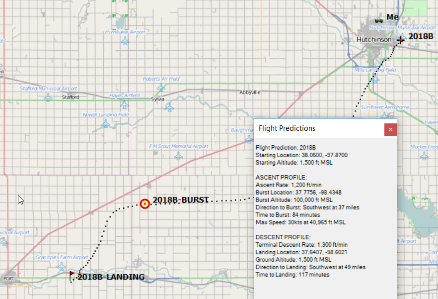
| Launch Site | Hutchinson Regional Airport (38.064N, -97.866W) | |
|
Capsule 1 (Track) 144.39MHz |
ArduinoTrack with Radio Shack HTX-200 HT transmitter transmitter and Ublox M8Q GPS, signing W0ZC-11. Beaconing is altitude-based delay: Path is disabled above 2,000m MSL. Canon A570IS camera running CHDK and GoPro camera pointed up. |
0.88kg |
|
Capsule 2 (Track) 144.39MHz |
ArduinoTrack (Combined) with RadioMetrix 300mW transmitter and Ublox M8Q GPS, signing W0ZC-12. Beaconing is simple time delay: Path is disabled above 2,000m MSL. |
1.04kg |
|
Capsule 3 (Track) 144.34MHz |
ArduinoTrack Flex with DRA818V 700mW transmitter and Ublox M8Q GPS, signing W0ZC-13. Beaconing is simple time delay: Path is disabled above 2,000m MSL. |
0.22kg |
| Recovery / Misc |
Parachute and misc rigging. | 0.30kg |
| Total Flight Weight | Total neck weight on the balloon. | 2.44kg |
| Balloon / Gas | 1200g Kaymont with 5.4cu meters (190cu ft) Helium. Neck lift (4.3kg) / Net lift (2.1kg) | |
| Estimated Burst Altitude | 29,939m MSL (98,225') | |
| Estimated Ascent Rate | 6.1 m/s (1200'/min) | |
| Estimated Descent Rate | 6.6 m/s (1300'/min) | |
| Chase Frequencies | 446.100MHz |
Flight Results
| Launch Date/Time | Saturday July 7th, 2018 at 8:03am (13:03Z) |
| Launch Site | Hutchinson Regional Airport (38.064N, -97.866W) |
| Burst Altitude | 30,933 m MSL (101,488') |
| Average Ascent Rate | 3.11m/s (613 ft/min) |
| Measured Descent Rate | 5.38m/s (1060 ft/min) |
| Touchdown Site | 4.8km (3 miles) north of Stafford, KS (38.000N, -98.614W) |
| Touchdown Time | Saturday July 7th, 2018 at 11:34am (16:34Z) |
| Recovery Time | Saturday July 7th, 2018 at 11:42am (16:42Z) |
| Distance Traveled | 65km (40 miles) west-southwest |
| Total Flight Time | 3 hours 30 minutes |
| Downloads | W0ZC-11 Log, Flight Path (KML), Winds Aloft Forecast |
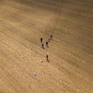
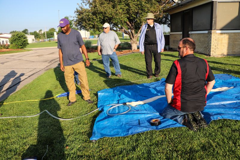
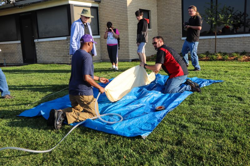
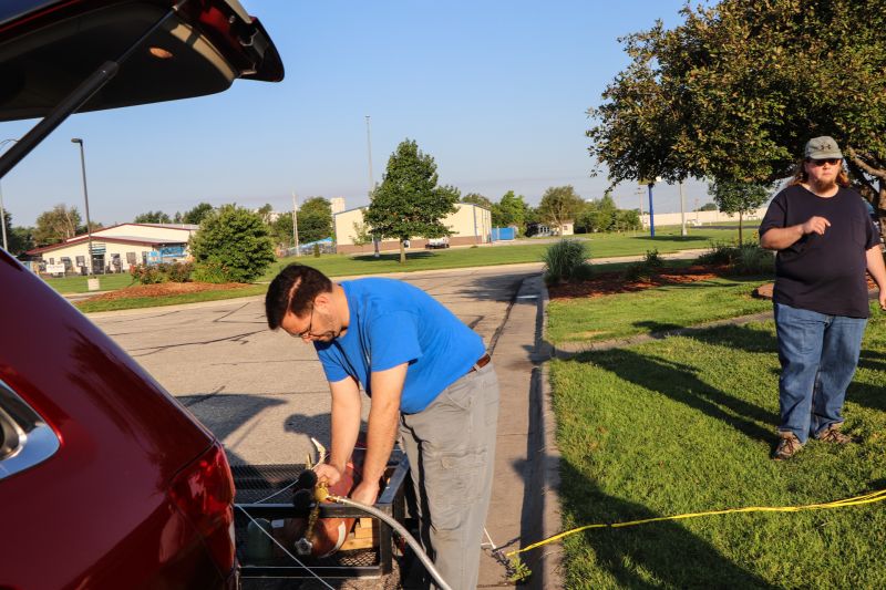
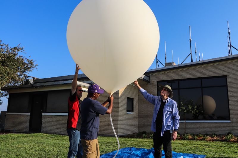
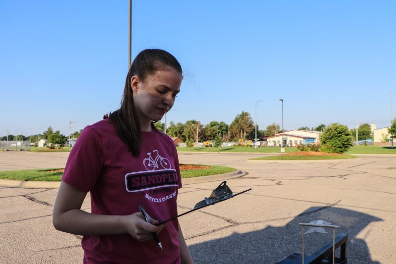
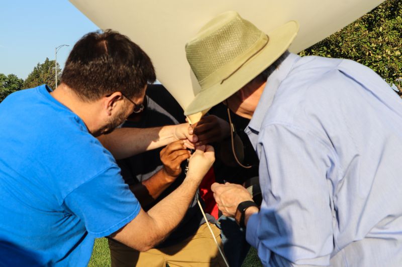
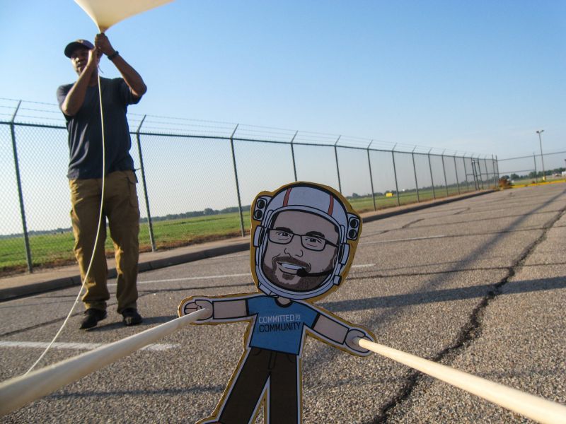
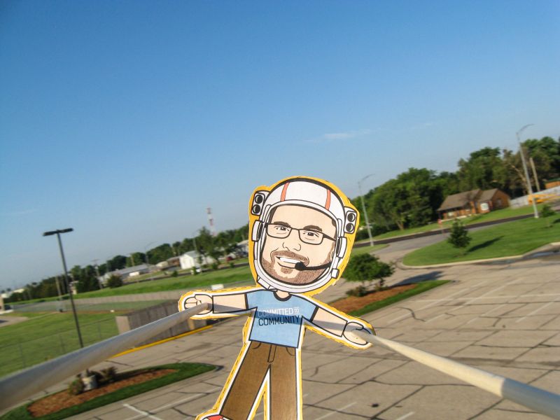
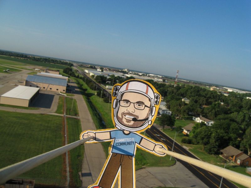
Photo Highlights


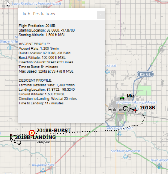
Tracking Predictions
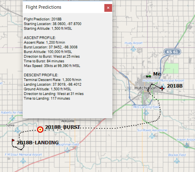
6 July 2018
Heading west-southwest, along highway US-50.
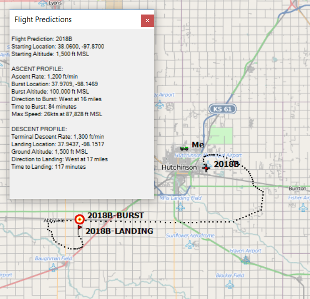
5 July 2018
The track is turning more west-southwest, closer to Sylvia.
1 July 2018
Similar track from a few days ago, but slightly closer in.
28 June 2018
Departing Hutch and heading southwest towards Pratt.